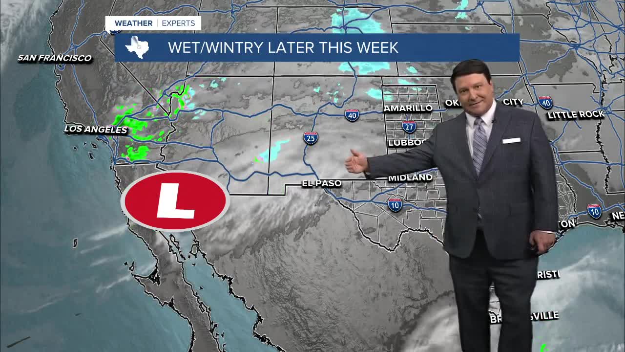
25 WEATHER — Our road down a complex forecast road continues. The models are a little slower with our system pulling out of Mexico late this week. This has prompted some changes to the forecast. There will likely be more changes over the next 24-48 hours as new data comes into the forecast center, but this is what we have as of now:
Wednesday: Partly cloudy skies are expected. With more sunshine, we should warm from the mid 20s Wednesday morning up to the mid 40s Wednesday afternoon.
Wednesday Night: Clouds will be in the increase, but we may stay clear long enough to get temperatures down into the low to mid 30s. Any precipitation will likely hold off until after sunrise.
Thursday: This is where things get very complicated. It will be a cold and wet day...that much we know. Areas north and west of Waco/Temple/Killeen may start off as sleet and freezing rain Thursday morning. This will likely transition to a cold rain/freezing rain mix in the afternoon. Areas to the southeast will likely just be cold rain. Highs will be in the mid 30s.
Thursday Night into Friday morning: If our system continues to come in a little slower, we may have a chance for a cold front in northwest Texas to catch up with some of the precipitation across the western half of Central Texas. This could change some of the rain over to snow if it can happen fast enough from Waco, north and west. Other areas to the east of I-35 will see rain come to an end by Friday afternoon. Highs will be in the upper 30s and low 40s Friday afternoon.
There will be more changes to this forecast as we get new data. Check back for updates!


