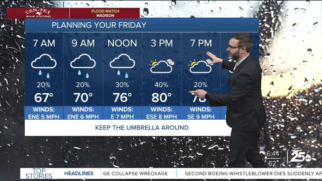


CENTRAL TEXAS — Models are struggling, but showers and storms look possible each day into the weekend. Particularly into the overnight hours. Highs will reach the low 80s with south breezes.
THE BREAKDOWN:
- Flooded roads still likely in the Brazos and Navasota Valleys
- Rain chances linger, some storms possible this afternoon, with better chances overnight.
- Pattern looks a bit more quiet next week, but isolated storm chances linger.
We saw another round of heavy rain overnight in Central Texas that moved over already saturated areas. This will lead to more flooding today, in particular in the Navasota valley (Freestone, Limestone, Leon, Robertson, Brazos, Madison & Grimes counties) where the Navasota river is at *RECORD* flood stage. This will likely cover highway 7 and OSR, but 79 may stay passable.
This afternoon, models are hinting at more storm development over our eastern counties. This isn't certain, but would follow suit with what this pattern has brought this week. We will also have to watch for storms to develop over West Texas and work in overnight. Models have struggled, but this at least looks possible, so stay aware of what's going on overnight because if storms do roll in, we could see flooding rains and gusty winds once again.
The same pattern will persist this weekend. It looks like Saturday day time plans will be okay, but another round of showers and storms may move in from the west overnight into Sunday bringing yet again more rainfall. Let's say we get each round of rain the models are projecting - that could lead to 2-4 more inches of rain over already saturated areas. Flooding may remain an issue through the weekend. Highs will reach the low 80s, and south breezes will accompany each day.
Heading into next week, it appears the pattern will relax a bit and give way to a typical May pattern. That means Isolated storms in the afternoons with highs approaching 90. Any of those storms may have enough energy to turn severe, but the uncertainty of where and if is high. If anything, Wednesday may have a better chance. It also looks like we could get a cold front in here for next weekend, fingers crossed! With the 90s and the recent humidity, it may feel like 100 during the middle of next week.
Have a great Friday!
Meteorologist Josh Johns
25 Weather
