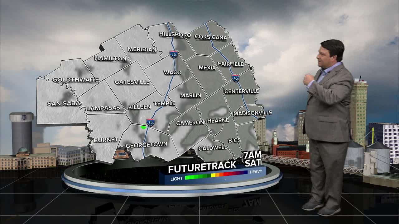
25 WEATHER — It won't be nearly as warm as previous weekends around here with highs in the mid 70s both Saturday and Sunday. Clouds should steadily increase across the area as we move through the weekend as well. Showers and isolated storms are possible Sunday afternoon and evening as a strong storm system moves into Texas.
Thunderstorm chances will increase as a line of storms moves from west central Texas into our part of Texas Monday morning. The dynamics with this system look strong, so I think the line will make it through all of Central Texas Monday morning. There will be a lot of wind energy with this system, so strong winds look possible as storms move across the area, especially along and west of I-35. One thing we will have to watch is where storms are along the front. If storms can stay on or just ahead of the front, we will have a higher potential for severe storms in the line. If storms are along and behind the front (the more likely scenario), then the severe potential will be lower. Two other limiting factors for severe weather will be time of day and low instability values. We will continue to monitor all of these parameters as we get closer to Monday morning. I do think this will clear the area Monday afternoon with highs in the mid 70s.
A stronger cold front should arrive late Tuesday into Wednesday. Today's models have pushed more of the significant cool air farther east. We will still cool off here, but Wednesday and Thursday's high temperatures may hold in the 60s now instead of the 50s.
Have a great weekend!


