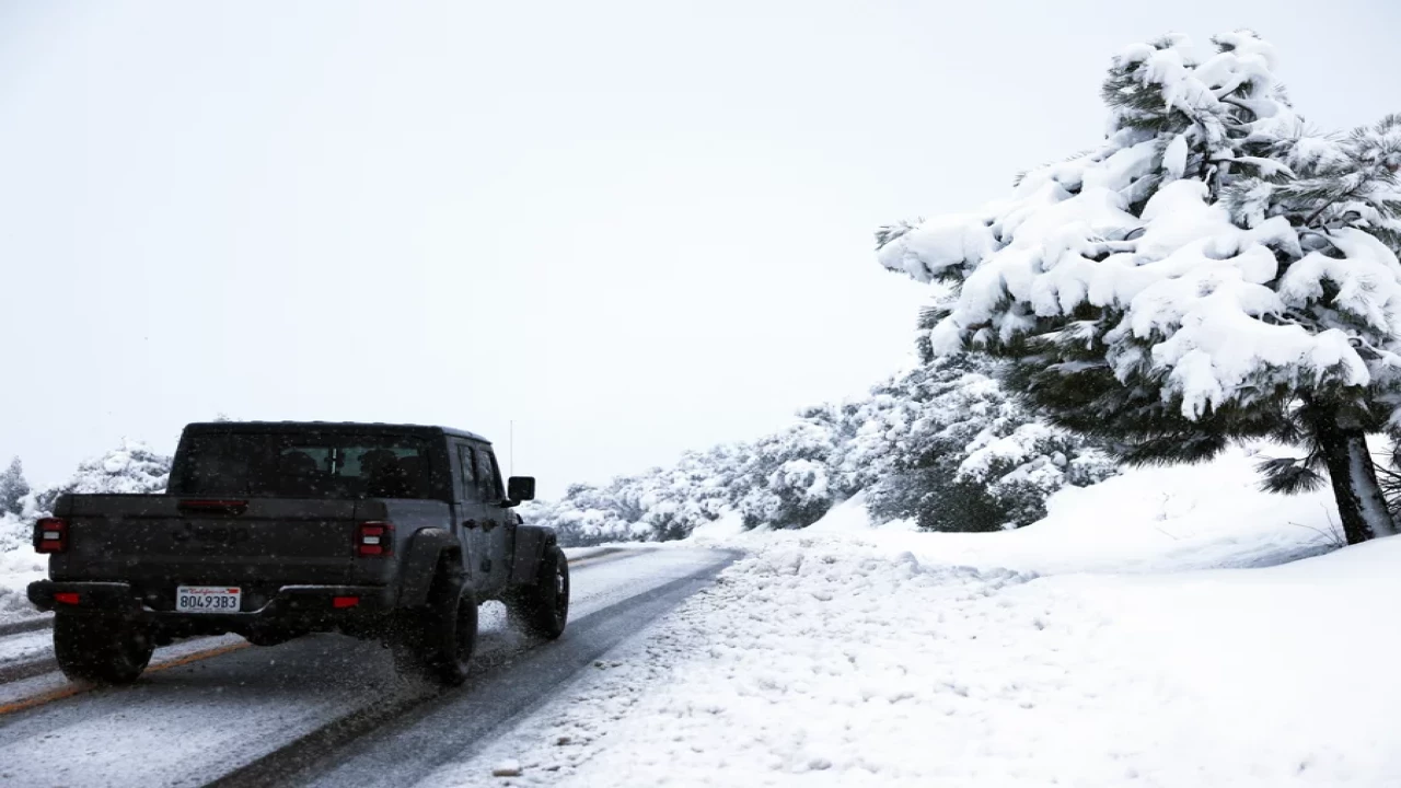
NPR/JOE HERNANDEZ — Already walloped by an unusually snowy storm last week, California is now facing even more wintry precipitation.
Several feet of snow fell in parts of Southern California starting Thursday and continued through the weekend, particularly in more mountainous regions.
The Mountain High Ski Resort, located in the San Gabriel mountains about an 80-mile drive northeast of Los Angeles, recorded 93 inches of snow. Other high-elevation areas saw more than 5 feet of heavy snow and are still digging out.
Satellite images from NASA's Earth Observatory showed the vast blankets of snow that fell in parts of Southern California, LAist reported.
But the atypical snowfall isn't over yet.
Another storm that began on Monday was predicted to drop even more snow on California, the worst of it coming Tuesday night into Wednesday. But it wasn't expected to be as strong as the weekend's weather, the National Weather Service in San Diego said.
Snowfall and strong winds were forecast for San Bernardino, Riverside and San Diego counties. The NWS San Diego office even predicted a brief atmospheric river with heavy precipitation.
Jeanine Jones, the interstate resources manager at California's Department of Water Resources, said in a statement to NPR that although the department typically waits until later in the season to assess the water supply, the recent weather appears to have been beneficial.
"The precipitation California has received in recent days combined with the nine atmospheric rivers in early January has helped ease drought impacts in parts of California," she said.
But Jones added that depleted groundwater resources are slower to recover, and rural areas that rely on groundwater are still struggling.
"It will take more than a single wet year for groundwater levels to substantially improve at a statewide scale."
According to the website PowerOutage.us, more than 69,000 electricity customers in California had no power as of late Tuesday morning PT.
Meanwhile, a widespread snowstorm arrived in the Northeast. Winter weather alerts were in effect in at least seven states along the East Coast, from Maine to New Jersey.
The NWS office in Gray, Maine, was predicting as much as a foot of snow in parts of New Hampshire and as much as 8 inches in parts of Maine.
By Tuesday morning, parts of Connecticut, Massachusetts and Rhode Island had already seen more than six inches of snow, while the Boston area received roughly a third of that or less.
The New York City metro area also fell in the storm's path but saw lower snowfall totals. Central Park got 1.8 inches of snow. Meteorologists said late Tuesday morning that precipitation in the metro area was starting to transition from frozen to liquid.


